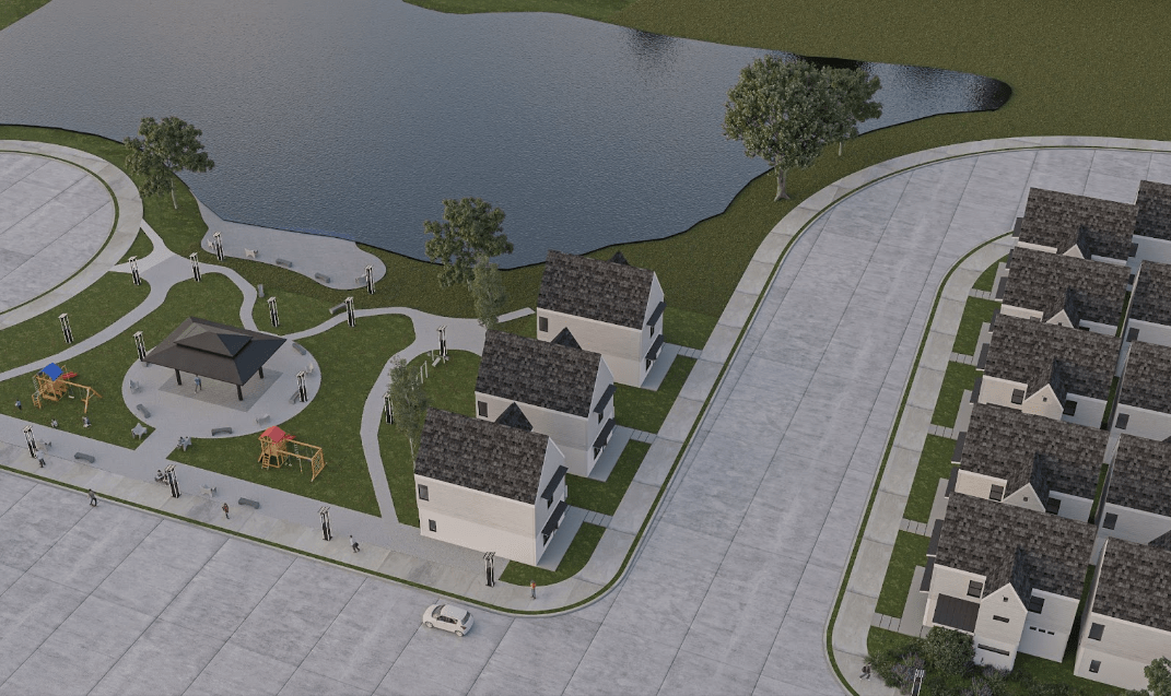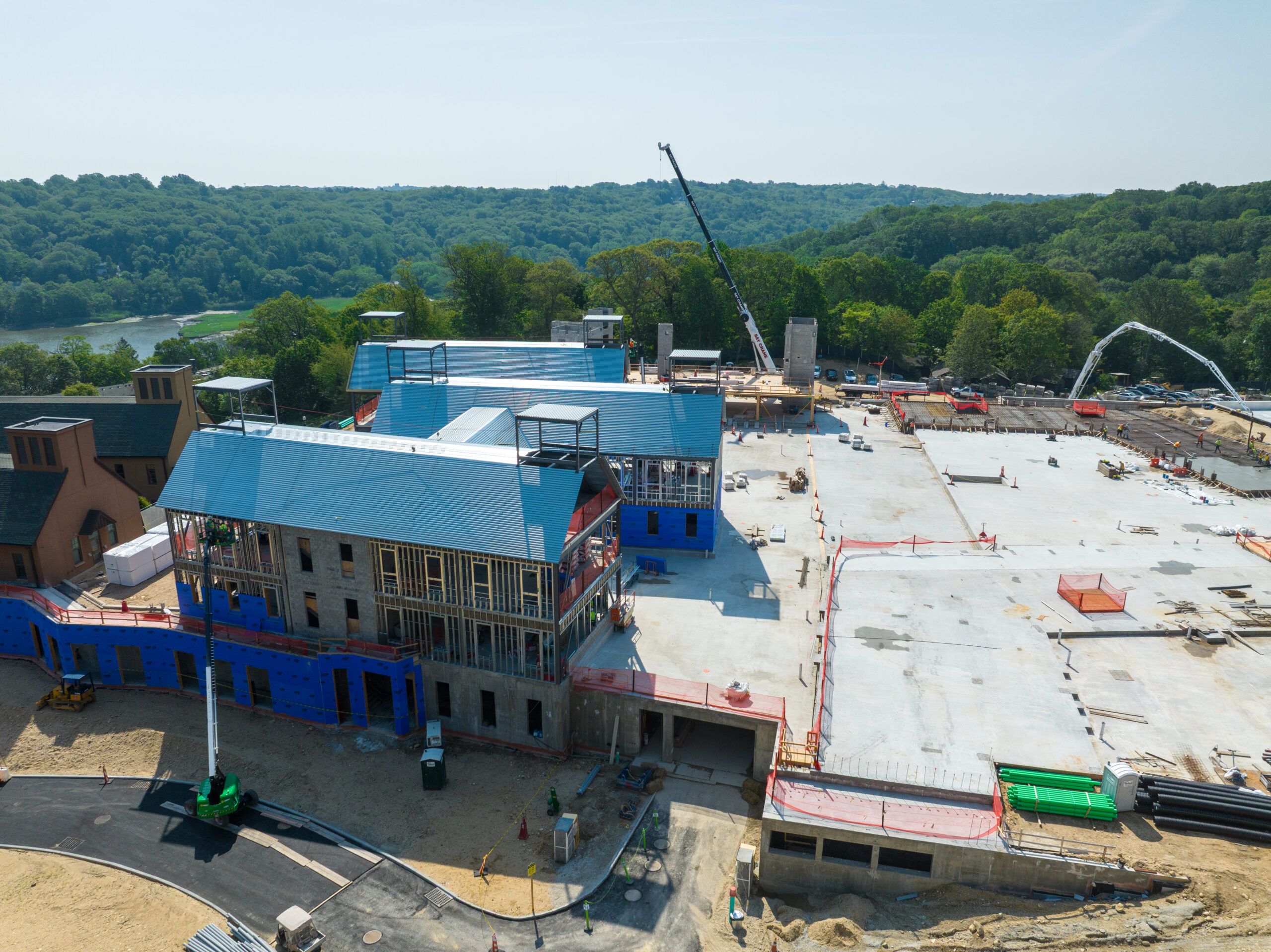

Drone mapping has become a valuable tool in construction, changing how projects are planned and carried out. This technology provides accurate surveying and fast data collection, allowing professionals to see project sites from an aerial view. By taking high-quality images of the land and site conditions, drone mapping helps identify and address potential problems early in the project. As construction becomes more competitive, finding ways to increase productivity and cut costs is vital for success in the industry.
This approach not only makes the workflow smoother but also improves teamwork. Photographic documentation can lead to better discussions during planning and implementation, so all stakeholders are on the same page. Looking at how drone mapping services are used, their benefits, and future effects gives a clearer understanding of their impact on construction management now and in the future.
Improved Surveying Efficiency
Speed and accuracy are the main benefits of using drones for surveying in construction. Drone images show site conditions clearly, providing a better view of land features that traditional methods might miss. Having this information quickly helps project teams identify possible problems early, fixing them before they become expensive issues.
Switching from manual surveys to drone mapping greatly improves efficiency. Traditional surveying takes a lot of time and can have many mistakes, while drones can cover large areas much faster. This not only lowers labor costs but also helps make better decisions, allowing project plans to be adjusted with up-to-date data.
Real-Time Data Collection
Using drone mapping for real-time data collection brings a new level of speed to construction projects. During construction, drones continuously take aerial photos, helping project managers stay informed about site conditions and overall progress. This quick access to up-to-date data allows for timely reviews and makes it easier to change plans as needed while work is ongoing.
Finding problems early can greatly reduce delays in construction projects. When project managers spot issues like material shortages or equipment misalignments, they can quickly take corrective actions. This proactive approach keeps projects on track and lowers the chance of unexpected costs from delays.
Better Collaboration and Communication
Drones take aerial photos that improve communication among everyone involved in the project. High-quality images provide a unique view, allowing teams to examine project layouts and site conditions more accurately. This makes planning meetings better, with clear data to help make decisions.
Using drone mapping not only helps with conversations but also boosts teamwork between different groups working on the project. Clear visuals reduce misunderstandings that can happen with vague explanations or simple drawings. When everyone sees the same aerial view, it’s easier to agree on goals and solve problems together.
Efficient Resource Management
Drone mapping changes how construction teams track materials and equipment, improving on-site resource management. Aerial technology collects real-time data that provides accurate inventory counts, allowing project managers to easily monitor the amounts and locations of resources. This clear view leads to better organization and fewer misplaced or extra items, which can delay projects and increase costs.
Better resource allocation is possible through accurate data analysis. Project managers can find the exact materials needed for specific tasks, making the best use of resources and reducing waste. By simplifying procurement processes and cutting storage costs, this method helps meet budget goals.
Streamlined Compliance and Reporting
Following regulatory standards is essential in construction, and drone technology provides an easy way to achieve this. Drones take aerial photos that reliably document site conditions, allowing teams to check that safety rules and environmental regulations are being followed. This accuracy not only helps maintain compliance but also increases accountability among contractors and subcontractors, since site records can be easily accessed and reviewed.
Reporting becomes much more efficient with drone mapping. Traditional compliance checks usually require lots of paperwork and manual documentation, which takes up valuable time and resources. Drones offer instant visual proof of compliance, making the reporting process better. This change reduces the administrative work related to compliance documents and lets teams focus on main project tasks.
Drone mapping revolutionizes construction by improving efficiency, accuracy, and collaboration across all stages of a project. By replacing traditional surveying methods, drones enable faster data collection, real-time updates, and proactive issue resolution. These benefits not only reduce costs and delays but also improve communication among teams, guaranteeing that all stakeholders are aligned. With streamlined resource management and simplified compliance reporting, drone technology helps construction projects stay on track, adhere to regulations, and maximize resource utilization, ultimately leading to more successful and cost-effective outcomes.