The popularity of drone services these days is ever-increasing and for good reason. A large number of commercial entities use drones for various purposes. Inspecting construction sites is among these purposes.
Drones are used in construction because they’re good at land mapping and assessing sites. It helps that drones are now more accessible than they ever were before. Thanks to this, construction companies are opting to use drones in their operations.
Drones have introduced the benefits of aerial imaging to scores of people. But not everyone knows how to use drones for construction inspection. Here’s a small guide on how you can use drones to improve construction inspection for your company.
Use Them to Get Aerial Imaging
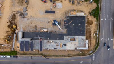
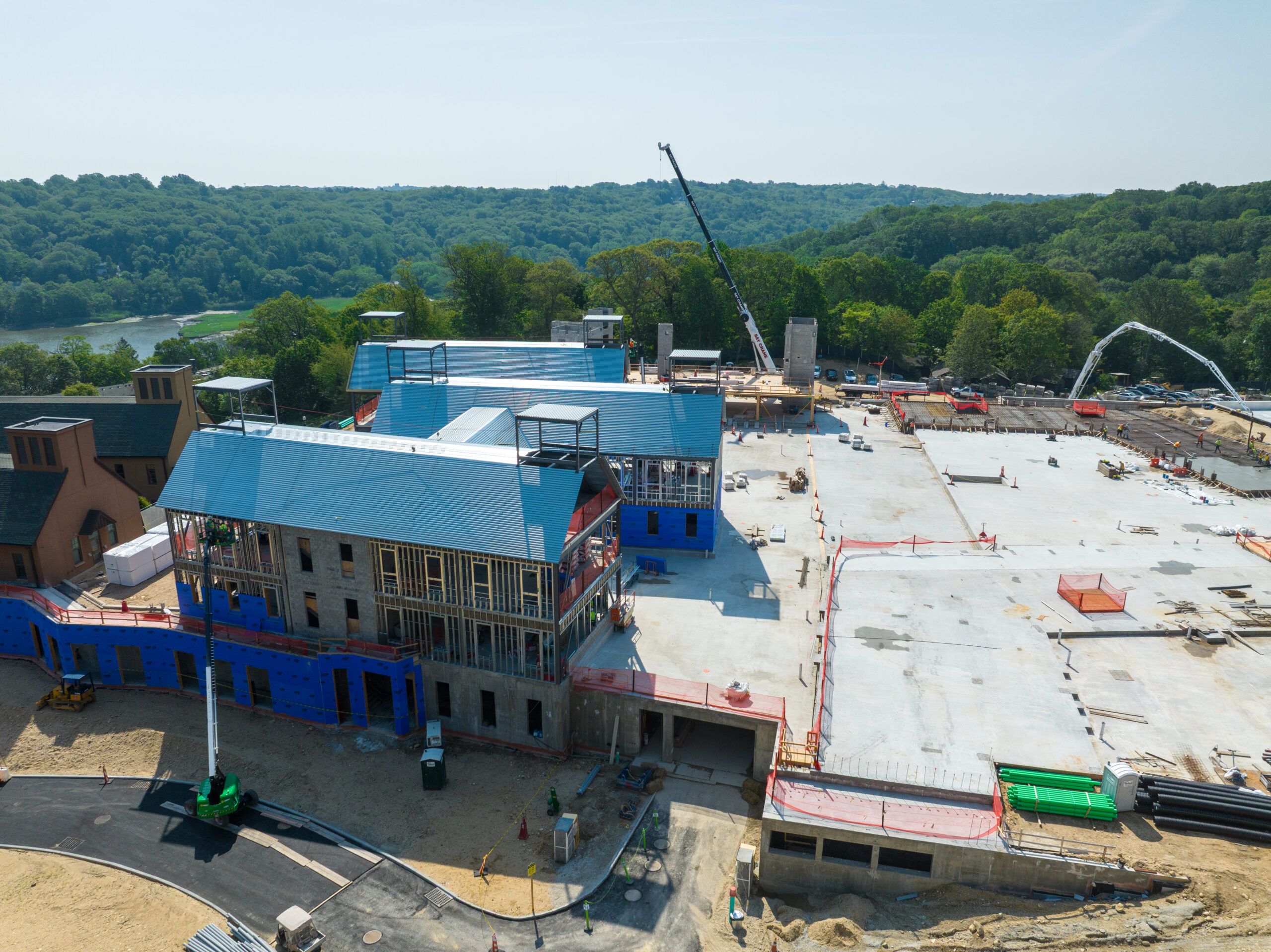
The biggest advantage of using drones is that they can provide you with aerial images. These images can help you understand the various aspects of your construction activities. For instance, they’ll help you map the progress of your project.
Until a few years ago, it was difficult and costly to get aerial images. The advantage of using drones to capture these images is that you can have them on demand. Construction and site managers can use these drone images to meet their deadlines.
Staying in line with deadlines helps them keep your many stakeholders happy. Also, remember that the quality of the images captured by drones is usually top-notch. So, the aerial images captured by the drones will be clear enough to be of use to your higher officials. FlyGuys drone services helps you take aerial images of your sites in their entirety and helps you monitor and manage progress of the project. Using these drones to capture images from the air is more affordable than it is with other imaging options. These drones can capture images from various aerial angles.
Aerial images captured from various angles are ideal for commercial real estate complexes and residential housing developments. The best drones are capable of adapting their capabilities to suit various construction activities.
The thermal imaging used for video or still images help capture hard-to-reach sites. Good quality drones provide you with such footage in usable formats. So, you can use the footage to make accurate construction decisions.
Use Them for Land Mapping
Another great advantage of using drones is that they give a complete picture of your sites. They can capture long-range shots enough to give you an accurate picture of your site. In this way, they allow you to use a process called land mapping.
This process involves measuring the shape of the land for construction processes. An Unmanned Aerial Vehicle (UAV) makes it easy to assess the construction land.
With land mapping, you can study the topography of the land you’ll be building on. This will help plan and execute your construction plans perfectly. Using a drone to map the land will provide you with accurate results. It’ll also save on the time needed to map land with traditional means.
Drones can fly over the most dangerous regions to capture images. It may not be practical for you to send out physical labor to perform inspections for your sites. But, with drones, you can survey land in all types of locations before you begin construction.
The latest in drone innovation can help you locate and assess construction land. So, drones are becoming an important part of a land mapping in large construction firms.
Since drones fly closer to the ground than airplanes, they can give you a clearer picture of the land you want. This will be more useful as you’ll likely study the specifics of the land before you begin construction.
Using drones for land mapping is also an efficient and cost-effective process, and an aerial surveyor can provide accurate data and detailed analysis for your project. It would cost you much more to hire the services of experts to survey the land manually. If you consider this cost across more than one project, you can see why drones are a good investment.
Use LiDAR Drones for Ground Quality Assessments
Land surveying is like land mapping in the sense that it deals with assessing land. This assessment helps you determine the land you want to use for construction. It also helps you figure out how you can use land in the best way to ensure construction goes on smoothly.
LiDAR drones are those that have more advanced light detection and ranging systems. So, it’s no secret that these drones can give you the most accurate aerial readings. This is why these drones are often used for surveying property.
You can create 3D models of your construction site with the features of LiDAR drones. The accuracy of these drones is such that you can even examine the centimeters of the land you’re surveying.
Also, operating a LiDAR drone is far easier and safer than using ground-based methods. This is why construction companies often use drones to carry out safety inspections.
Improve Process Management and Process Monitoring Using Drones
Process Management
You can integrate drones into your process management to improve your construction activities. Process management involves a systematic approach to ensure the business is running well. This deals with several aspects of running a business to ensure success.
A large amount of capital is often tied up in construction activities. This capital includes time, money, and several forms of labor. Real-time construction site monitoring with drones is changing the game for many companies.
You can improve your processes at every level of construction using drones. These levels include strategic planning and executing the smallest tasks on site. The decision-makers in your organization can map the progress made on-site using drones.
The progress they map will influence their decisions and suggest process improvements. This allows for better usage of resources in the short and long run. It also helps your projects meet the tight deadlines you’re likely working with.
Process Monitoring
Process monitoring deals with the overall evaluation of any project. This monitoring allows companies to identify defects in a given program or process. You could think of process monitoring as one of the many parts of process management.
Drones make it cheaper for you to undertake process monitoring for your projects. Earlier, construction companies used helicopters to capture aerial images of their sites. But using UAVs is far cheaper and quicker these days.
These drones will help you inspect your sites and see if there’s anything that needs improvement. Drones can send information to managers in real-time. This timely information will prove valuable as process improvements can be made quickly.
Images captured by drones can help your managers make better decisions.
Conclusion
There’s little doubt that drones are the future of construction projects. After all, using drones in construction has too many benefits to ignore. But you should know how to use these drones to achieve the results you’re looking for.
Besides, UAVs are of little use if placed in the wrong hands. So, ensure that your staff is sufficiently trained to handle these drones when you bring them in.


